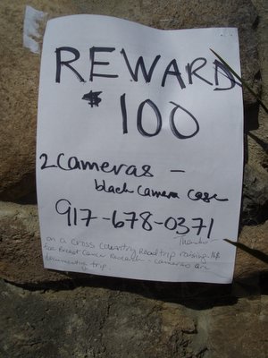
Miles driven: 471
Funds raised: $100
Bugs killed on windshield: a real lot
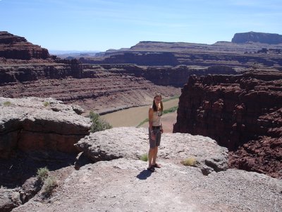
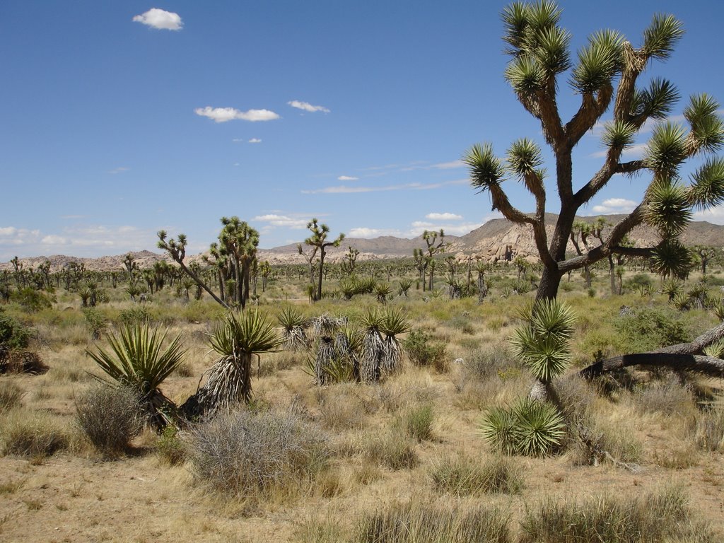
May 21 – Said my farewells to Sharyl in Vegas Sunday morning and headed east on route 15. Once you hit the northwest corner of Arizona it becomes the most breathtaking scenery all the way to Moab. The road meanders through huge rock formation the color of sand, surrounded by rolling hills of desert specked with cacti, desert flowers and tumbleweed. Yes, actually tumbleweed crossed the road several times during my drive.
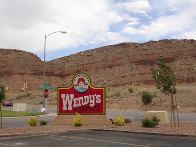
Just after entering Utah I stopped at the best Wendy’s in the nation, no make that best in the world. Why is it the best in the world? Well first, they serve, as all Wendy’s do, the mandarin chicken salad. Now if you know me, you know I eat a pretty healthy diet and visiting a fast food restaurant is a fairly rare occasion. But this salad is fresh with junks of chicken and a nice quantity of mandarin oranges. The best part is that in separate air tight packs come sliced almonds and crispy Asian noodles. And they give you a nice quantity – not some chintzy bag of crumbs. But the main reason this particular Wendy’s is the best is the view! It’s surrounded by a landscape of red rocks that’s just amazing. Throw in a mix of fun music – I heard Elvis Costello, Al Green, Stevie Wonder, A-Ha – and it’s really, really clean. Top that off with the great hairdo’s all the workers had and you’ve got yourself the best Wendy’s in the world.
Setting off again on the road I decided to try out the Avis Assist. This is Avis’ navigation device. It’s actually a cell phone. Here’s how it’s supposed to work. You press a serious of buttons prompted by a voice and then it connects you to a live person. They are supposed to be able to detect by the device your exact location. From there you tell them where you want to go – this can be as specific as a Kinko’s in Cedar City - and they download the direction to the phone. It then speaks and shows on the small cell phone screen the directions as you go along. Sharyl and I tried it out several times from San Diego to Vegas. Well, it’s yet to really be of any assistance. Here’s one of my favorite conversations that happened after I left the Wendy’s parking lot.
Avis Assist: What is your device number?
Me: 123 456 789
AA: Where would you like to go?
Me: I’m looking for a Starbuck’s (for internet connection) along my route to Moab. (They were previously given Moab as my destination which is supposed to remain in the database.)
AA: Where are you?
Me: Well, I am on route 15 in the desert in southwest Utah. Can’t you tell from the device?
AA: Is there a sign somewhere you can see that can tell you where you are?
Me: Well, it’s really just a long stretch in the desert, not really a town. There’s no sign. You can’t detect where I am?
AA: Not when you are calling from your cell phone.
Me: I’m not calling from my cell phone. I’m calling from the Avis Assist device.
AA: What’s your device number?
Me: 123 456 789
AA: The nearest one to you is in St. George.
Me: I believe I’ve already passed St. George. Is there another that’s along my route, I’m going east to Moab. (I start to rattle off from memory town’s I know I go through) How about Cedar City?
AA: No Starbuck’s in Cedar City.
Me: Beaver?
AA. No.
Me: Richmond?
AA: No.
Me. OK.What about a Kinko’s or a Borders Books.
AA. No in Cedar City. No in Beaver, No in Richmond. There’s one in Logan, UT.
Me: Is that along my route?
AA: I don’t know.
Me: Where is it in UT?
AA. I don’t know. Do you want me to download the directions to your device so you know how to get there?
Me: Not really, until I have an idea where it is. It might be 100 miles out of my direction. You can’t tell me where it is in UT?
AA: No, I live in Portland, OR. I’m not familiar with that area.
Me: I understand you personally couldn’t possibly be familiar with all the roads in the country. But the Avis Assist system can’t determine the direction it is from my current location?
AA: I’ve never been there.
There was a previous time when it lost our location enroute. We called back to reconnect and were asked “How fast are you driving?” “75.” “It loses connection if you drive faster than 55.” “But the speed limit is 75??”
Anyway, I called my brother Paul who quickly found me a location along my route with impeccable directions. Pauly Assist beats out Avis Assist tenfold.
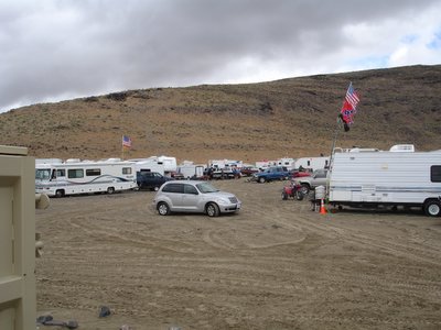
I arrived in Moab around 9:15PM and checked into the Lazy Lizard Hostel. It’s back off the road. I rented a cabin for a mere $27 a night. It’s a very laid back place with an organic, hippy vibe. The cabin is cute and air conditioned! The bathhouse is clean. There was a group of people hanging out in front of the main building in an area with some chairs and tables under a few trees surrounded by a low stone wall. One guy was playing the guitar the rest where just chilling out, taking in the amazing stars.
My car was parked on a slight hill right in front of this area. So, there is this button on my key for the car that’s labeled “panic.” Here’s how it works, you accidentally hit it when you are opening the trunk. The car begins to beep nonstop very loudly and flash its headlights on and off. This continues until you somehow figure out how to turn it off. This happens particularly when you are in a really mellow or serene atmosphere – like at 9:30PM in front of a bunch of vegetarians playing guitar – throwing you into a “panic” as you desperately try to figure out how to turn the thing off, while you mutter “Sorry. I’m really sorry.”
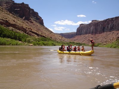
After a quick shower, I met up with my friend James who I met down in Ecuador. He works for the adventure company, OARS. He’s here training a new team for the trips out of Moab. He made us some fantastic fish tacos and listened to me ramble on nonstop since I hadn’t spoken to anyone in person all day.
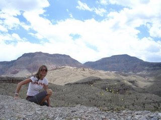
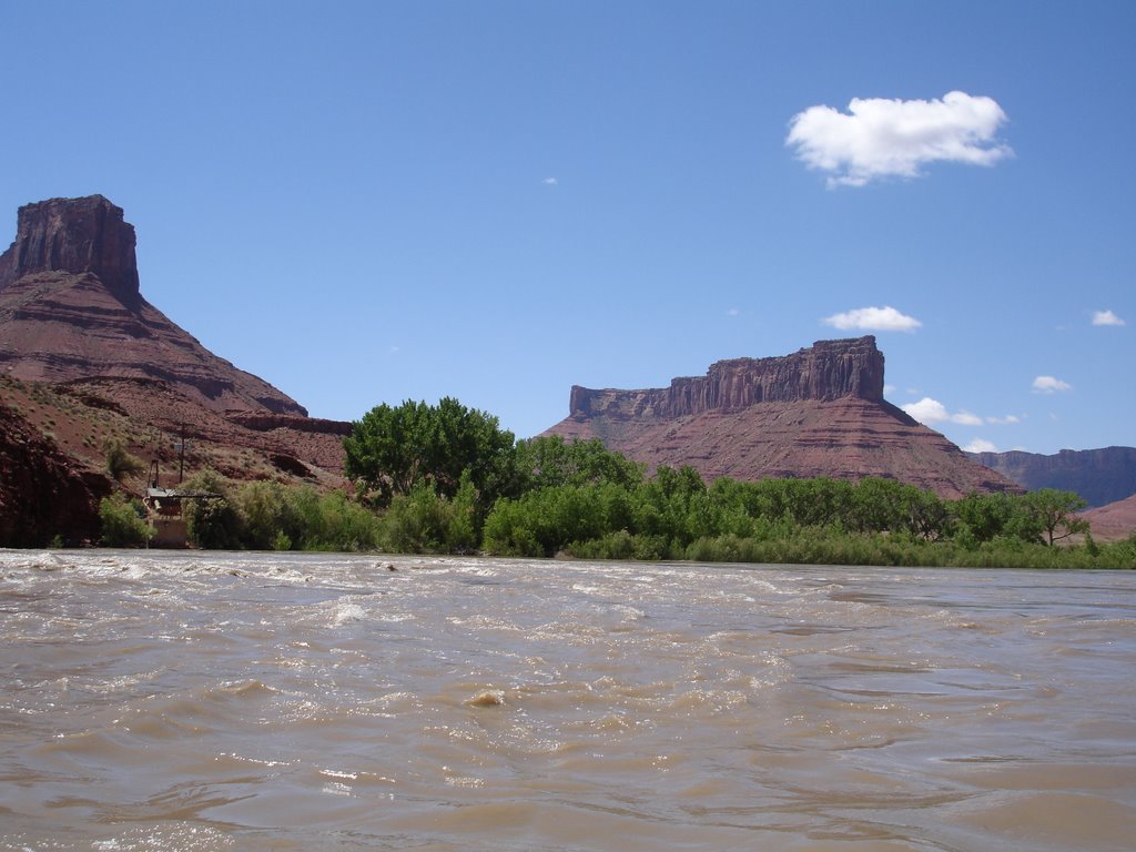
 Butte on left, mesa on right
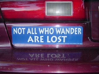 Hidden message: I knew I wasn't lost!
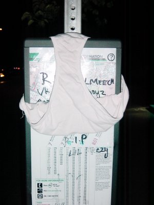 Hidden message: Change your underwear
 Butte on left, mesa on right
 Hidden message: I knew I wasn't lost!
 Hidden message: Change your underwear